G – AIM

G-AIM is a modern system which will be very useful in the future in which every semi-government, urban development boards, metropolitan municipalities, gram panchayats, irrigation department, 1/1, R88 department, railway department, electric department, urban and rural gas distribution department, etc. All types of complete information included in all its office area GlobalA platform will be prepared by gathering at the coordinate latitude.

15 18008 by the Bureau of Indian Standards (315) to maintain proper standards of office in every village, town, and city; ”Dec 1, 2021, by 00 0.110 2802021 has been announced. J Tautatplanning and Valuation Department, Urban Development Corporations, Municipalities, Mandatorily to the Corporation as well as to all Government and Semi-Government offices as mentioned abovehas been applied.

Detailed Survey

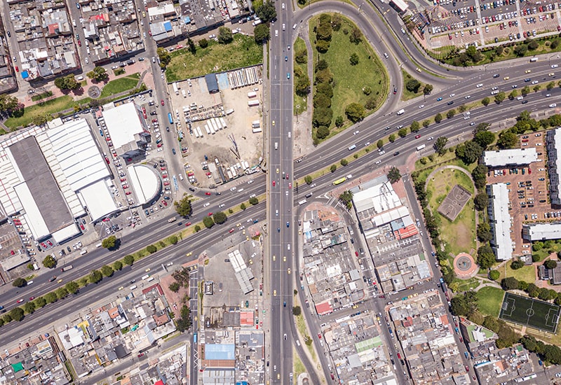
Basemap of 6-611/ to be 6100 000 meters first in the office area. All the entire area covered will have to be surveyed with complete detail through advanced technology.

All included in your area limits including Res.No./Block No. Classified roads, established including roads, footpaths, fencing, compound walls, internal society roads, common plots, private roads All surviving roads are shown with names and various infrastructures such as water distribution Mandatory building, open sewer line, pumping station, main hall, electric line, telephone line pylons, Communication Towers, Gas Distribution Lines and Poles, Railway Lines, Trees (trunks more than 20 cm in diameter (consisting) of historic monuments, gardens, lakes, rivers, streams, canals, wells, religious structures and temples structures, borewells and pump rooms and buildings for public purposes like bus stands, railway stations, post offices, All details like a hospital, sports ground will be measured.

Basemap

To prepare the basemap of the surveyed area on Global Coordinates, all the details like CT survey sheet, DILR office portion measurement sheet, land allotment sheet and other government and semi-government office prepared infrastructure drawings etc. are superimposed on the survey area.

Preparation of maps of government departments like road network, electric line, zonal map, ward map, railway track, water distribution system and sewerage system, solid waste management, development permissions, revenue map etc.

Proposed Basemap

After the Hayat basemap is prepared, the Govt And all future semi-government offices Taking into account the development plans on the existing basemap A proposed basemap is prepared by tracing In which all future plans Shown with all necessary details.

Attribute Table

Statistics of all the details contained in the basemap The data [0| (011006 .0£111121€/111015), given Hybrid map merged with prepared basemap is prepared. than a click on whose map All details statistics will be available.

Maintenance

In the entire area included in the office limits All information subject to change as well as approval from time to time Development permission granted and all other details All that is required for office as well as public Data is updated and maintained by our skilled team It is done on an annual contract.

Benefits of using GROUND-TO-GRID ADVANCED INTEGRATED MAPPING

  • You can get all the latest maps and statistical information of your area on a single click of a single map.
  • All the information of all the relevant government offices in your area can be compared and accurate.
  • Contour and digital elevation of all areas within your area will be created using precision equipment.
  • All the maps and sheets will be made in exact geographical location so that any future data can be kept in the right place so that no ground shifting or overlapping can happen.
  • For any plan in the coming future
error: Content is protected !!